4D twin · seismic-tied
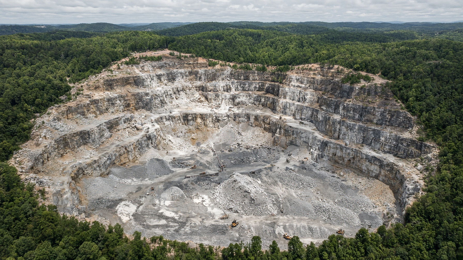
Vulcan Mideast district
Vulcan Materials · Jefferson County, AL · site LTH-VULCAN-MIDEAST-AL
Loading twin…
185 m NAVD88 · Vp low —— high
Ore–seismic crosswalk
Each shell is tied to the survey that would image it. Desk compilation from published USGS / industry methods — not the operator’s confidential cube. Not a reserve.
| Ore shell | Survey | Method | Year | Tie | Vp m/s |
|---|---|---|---|---|---|
| Bangor / Tuscumbia limestone | Bangor GPR | GPR | 2020 | Ties the shell | 600–3600 |
| Bangor / Tuscumbia limestone | Overburden refraction | Refraction | 2018 | Structural offset | 400–4200 |
PhD geological read
User-initiated. Grounded in MCS 2026, the mapped ore shells, and the seismic crosswalk. Not a reserve.
Mississippian-Pennsylvanian limestone/dolomite. Metro Birmingham construction feed.
Capacity
Workforce420
Nameplate18,000,000 tpy
Utilization88%
Effective15,840,000 tpy
t / person-year42,857
Landform is site-typed: porphyry pit, block cave, underground vein/reef, Carlin, gravel, quarry. Seismic fences are Vp-banded.