4D twin · seismic-tied
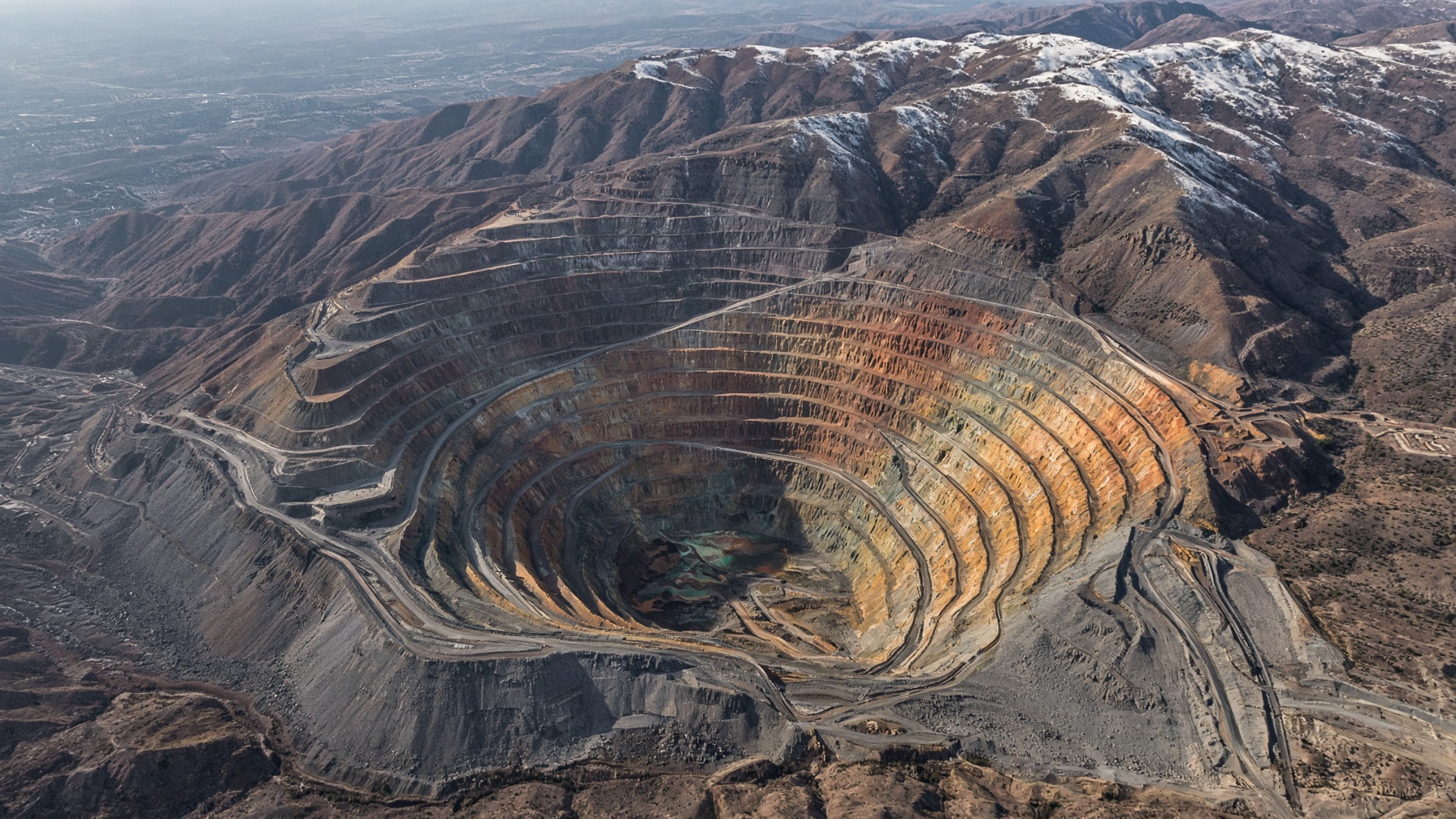
Bingham Canyon
Rio Tinto Kennecott · Salt Lake County, UT · site LTH-BINGHAM-UT
Loading twin…
1341 m NAVD88 · Vp low —— high
Ore–seismic crosswalk
Each shell is tied to the survey that would image it. Desk compilation from published USGS / industry methods — not the operator’s confidential cube. Not a reserve.
| Ore shell | Survey | Method | Year | Tie | Vp m/s |
|---|---|---|---|---|---|
| Cu-Au potassic core | Cross-pit 2D | 2D reflection | 2014 | Ties the shell | 2400–6500 |
| Mo shell | Cross-pit 2D | 2D reflection | 2014 | Ties the shell | 2400–6500 |
| Cu-Au potassic core | Pit-floor VSP | VSP / borehole | 2019 | Ties the shell | 2800–6700 |
| Au-bearing quartz latite | Highwall microseismic | Microseismic | 2022 | Structural offset | 2200–5200 |
PhD geological read
User-initiated. Grounded in MCS 2026, the mapped ore shells, and the seismic crosswalk. Not a reserve.
Eocene Bingham stock. Classic zoned porphyry with Cu-Au core, Mo shell, Pb-Zn-Ag skarn and lead-zinc carbonate replacements. One of the deepest open pits on Earth.
Capacity
Workforce2,300
Nameplate180,000 tpy
Utilization84%
Effective151,200 tpy
t / person-year78
Landform is site-typed: porphyry pit, block cave, underground vein/reef, Carlin, gravel, quarry. Seismic fences are Vp-banded.